Camping in Patagonia
This time we are kicking off our guide to camping in Patagonia, a simple 2 minute read to tell you all you need to know. Places we have been to and some of our amazing community members also. Have advice on camping ion Patagonia? leave us a comment!
Introduction
Thanks to our CRUA partner UPSCAPE with their luxury adventure camp outpost. To go where tourism doesn’t exist today, where one can feel overwhelmed by nature and touched by the local (remote) culture with 100% guided, logistics support and carefully curated camp comforts.
Patagonia is a vast terrain covering over 400.000 square miles. It is shared by both Argentina and Chile making up nearly 50% of the territory in each country. On the Argentinean side, it is characterized by the Patagonia Steppe that gently falls away from the Andes and into the wide-open pampas with large estancias with massive herds of cattle and sheep. The Chilean side faces the Pacific and is exposed to all the weather riding the Humbolt current up from Antarctica. For that reason, Chile is better known for the temperate rain forests, raging rivers, and glacial lakes.
Things to Consider Before Camping Patagonia
- As Patagonia is in the southern hemisphere, the best time of year to travel there is between November and April.
- Well known for its extreme weather conditions be prepared for every type of precipitation in Patagonia even during the summer.
- With good luck, you could experience weeks of austral sun, or if not so lucky, torrential rains for weeks on end.
- Wind – a 30 mph “breeze” can be common in peak summer months of January and February and sustained gusts up to 60 mph are not unusual.
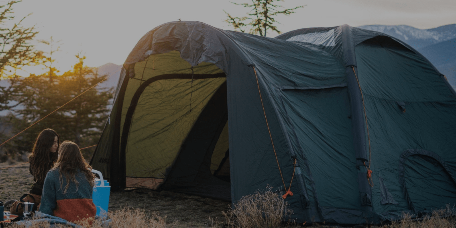
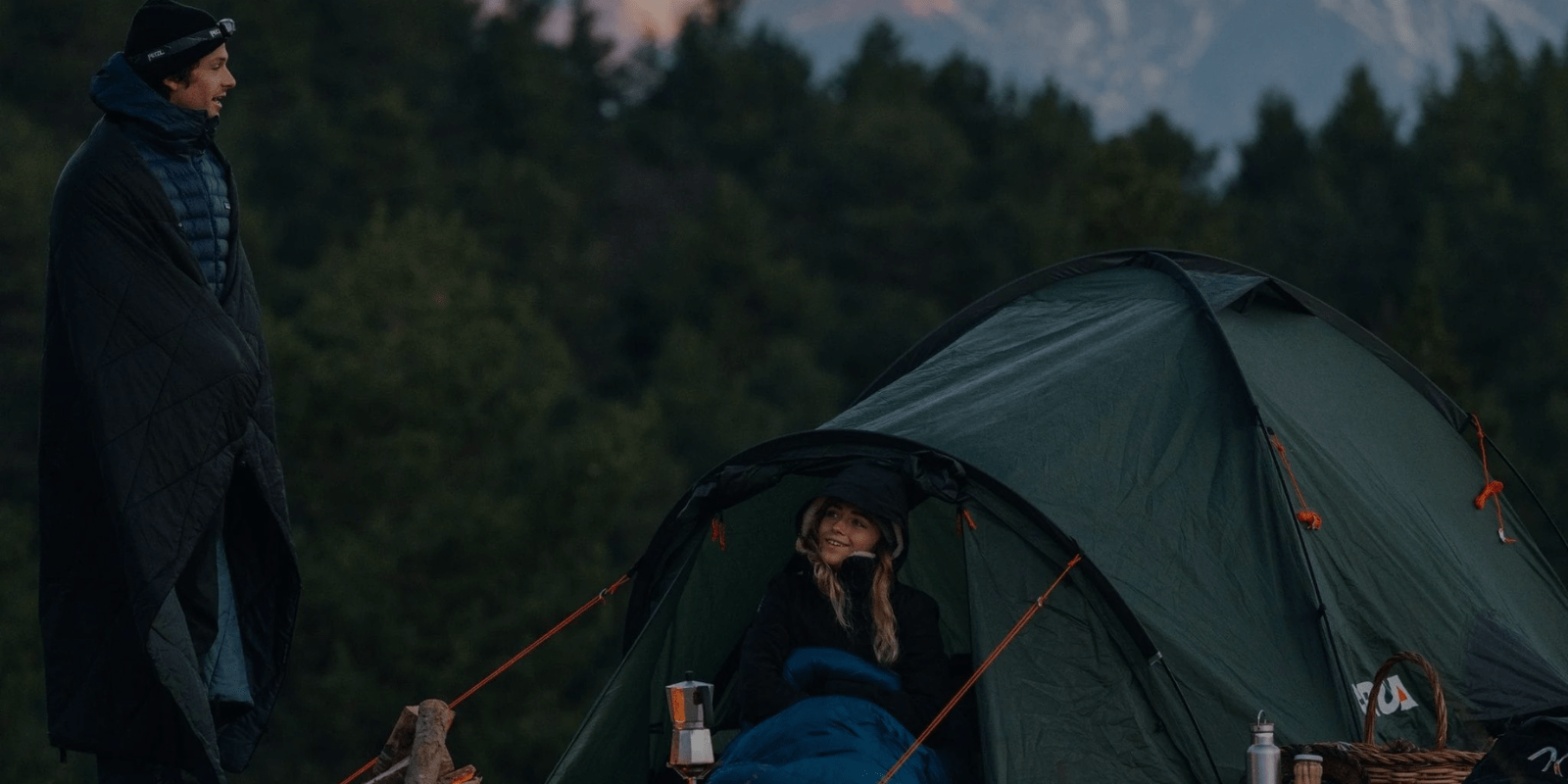
- Aside from a sturdy four-season tent, an adventurous spirit is a must.
Tips for Camping Patagonia
While we all hope for nice weather Patagonia is known for wind and rain so be prepared for temps to drop with the wind and always have your waterproof shell in the top of your pack. Bring lots of layers as they say you normally experience four seasons in one day in Patagonia. It’s good to have your fleece, vest, parka and outer layer on hand. Keep one dry layer in a separate dry sack in your backpack for nights in your tent.
Remember to pack your personal items and keep in mind that in this part of the world availability of medications, cold remedies and things like contact solution are pretty limited or nonexistent so be sure to stock up and carry any critical items in your carry on.
Mate is the local drink of the gauchos. It’s customary for gauchos to invite visitors to share in the experience. The mate gourd is passed around and you should drink all the contents through the shared straw (“bombilla”) when it is passed to you. Once you finish, return the gourd to the server. The gourd will go around several times. If you say “gracias” it means you are done so usually you don’t say this until after a few rounds, normally when the kettle is empty. That is, unless you really don’t like its strong bitter flavor then “gracias” after your first experience really means you are done.
Hitchhiking is safe. Offering gas money is always appreciated.
Places to visit in Patagonia
Torres del Paine - The Eighth Wonder of the World – is Chile’s most famous national park. The W trek and Circuit trek are world-renowned. All camping is now managed through private concessions and you must reserve. Plan on doing these 6-12 months in advance.
Glacier National Park - On the Argentina side this park stretches along the border. El Calafate is the main entry point at the south end with access to Perito Moreno glacier, a branch of the southern ice field ii is one of the most rapidly advancing glaciers on earth and a must-see when visiting the region.
The park stretches nearly 100 miles to the north towards El Chalten, the base for trekking around Fitz Roy. The Huemul Circuit, is just outside of the tiny town of El Chaltén, as are the hikes above, but at a different trailhead within Argentina’s Parque Nacional Los Glaciares. This hike is for experienced adventurers, and suggested gear includes a four-season tent, carabiners, harness, sandals, and poles for deep river crossings and a whole lot of grit. Look out for local fauna, including the giant Magellanic woodpecker, the male of which is identified by his flaming redhead. From the name of the trek, you might hope to see a huemul, a shy deer endemic to the region, but they are notoriously difficult to spot.
Cerro Castillo - Along the Carretera Austral, Chile’s wildest road, is the jagged basaltic formation called Cerro Castillo, named for the mountain’s spires, which make it look like a castle. The highway is the only access for much of untamed Aysén, as this region is called. The 2,675-meter high mountain of Cerro Castillo predominates the landscape to the west of the “Carretera,” just a few hours’ drive south from Coyhaique, and gets few visitors, though numbers are rising. It’s easy enough to take a day hike here, but there is also a four-day circuit.
The four-day, 43 km hike is on rugged terrain, partially through lenga (artic beech) forests, and hikers have a high possibility of seeing interesting wildlife, such as the huemul, an endangered deer endemic to Patagonia. The Cerro Castillo hike has creek and river crossings, three different glacier sightings, and views over the Río Ibañez, as well as the Hudson Volcano, whose last major eruption in 1991 resculpted river routes and left a swath of destruction in its path. One major highlight of this hike is the lake named for the hill itself, Laguna Cerro Castillo, a prime camping spot between days two and three of this epic hike. For the non-hiking inclined, there is also horseback riding available along with parts of this route. Don’t miss eating a giant sandwich on your way in or out of this hike at La Cocina de Sole, a bus-turned “diner” that serves hot tea and huge sandwiches to many a traveler.
Dientes de Navarino - Below the Southern Cone, where the South American continent seems to end, is the Straight of Magellan, and on the other side of that, is the large island of Tierra del Fuego, shared by Chile and Argentina. Then comes the Beagle Channel and after that, the southernmost permanent human settlements in the world, on Isla Navarino. History buffs and naturalists may recognize the name, as Charles Darwin spent time on this island. The diminutive town of Puerto Williams is the center of all services on the island, and, lucky for hikers, it also has good access to the trailhead to the Dientes de Navarino, the mountain chain named for their jagged, teeth-like appearance. If you prefer your sleeping to take place within four walls, you can still do a lovely half-day hike up to Cerro Bandera, where the trail starts. Hardier explorers may instead choose the four or five-day trek through high passes over craggy peaks and to protected azure lagoons hidden deep in the mountains.
The total distance of the circuit is 53.3 km, which for a four-day route might seem a short distance, but with this rocky terrain and altitude gain, it might just be enough. Another indicator of the remoteness and difficulty might be that only a few hundred people (at most) hike this circuit in any given year. Swirling clouds, wind unchecked by any other landmass and changeable Patagonian climate provide the dramatic backdrop for these weather-battered, snowy passes. But the untrammeled beauty and blue-sky days more than makeup for the unpredictable conditions. With fine weather and enough time, hikers sometimes extend their trip to a fifth day, to add one final lake, the Laguna de Los Guanacos, which is at the base of Paso Virginia, in order to savor their time on this trek, and the wildness of uttermost Patagonia.
Parque Patagonia - Parque Patagonia is part of the Tompkins Conservation legacy, founded by two former entrepreneurs, Kristine, and the late Douglas Tompkins, to protect wide swaths of Patagonia. Their goals include helping endangered species to repopulate, and encouraging landscapes to recover after different human interventions. Particularly in recent years, as major companies have to exploit some of Patagonia’s riches, these protected lands grow in importance. Recent international opposition helped to quash a proposed dam project, which would have affected the Baker, Chile’s most voluminous river. The Tompkins’ conservation projects are part of what is helping to protect what is still one of the wildest places in the world.
Because of the ecological drive to keep these lands healthy and untouched, interventions are few and far between, which makes a visit to 650,000-hectare Parque Patagonia truly unique. There are three main ways people come to get to know this park, as a day visit as part of a trip down Chile’s lonely Carretera Austral (southern highway), on a multiple-day visit with different daily activities, including hiking, mountain biking or bird watching, or finally, on multi-day hiking.
For day hikes, there are several options, from the least challenging “La Confluencia” hike, which is where the Chacabuco and Baker rivers (see above) come together, through to the Lagunas Altas or Furioso trails, each of which is 14 miles. The Furioso trail is where hikers can see one of the park’s most photographed mountains, Cerro Kristine, while the Lagunas Altas trail climbs up a hill and loops around several alpine lakes. For overnight hikers, there is the Aviles Valley trail, which leaves this park to connect to a hike in the Jeinimeni Mountains, ending at the pleasant town of Chile Chico, known for its warm microclimate and as a consequence, as a paradise for fruit-lovers. Cherry, peach and plum trees dot the city and line the central plaza.




Leave a comment
All comments are moderated before being published.
This site is protected by hCaptcha and the hCaptcha Privacy Policy and Terms of Service apply.